Maps
Historical maps, atlases, early modern national surveys, world maps and a whole lot more: bavarikon boasts an elaborate treasure trove of historical maps from all over the world. Besides the great works of Bavarian cartography, you will also find a wealth of historical city and town maps, maps of individual Bavarian regions, and maps on specialist topics, such as property and border dispute maps or military maps.
Embark on a voyage of discovery and explore not only the famous "Bayerische Landtafeln" by Philipp Apian or the "Topographische Atlas vom Königreiche Baiern" (Topographical Atlas of the Kingdom of Bavaria), but also such rare works as Mercator's globes and the "Carta Marina" by Olaus Magnus, of which only two surviving examples exist worldwide. All maps are high resolution and have a zoom-in function.
Filter
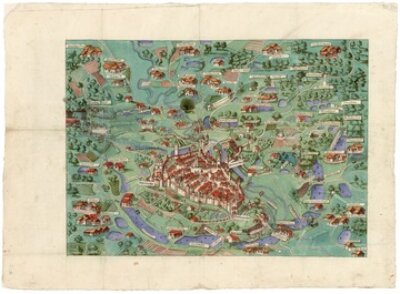
Augenscheinkarte der Dinkelsbühler Stadtmarkung
- Bayerisches Hauptstaatsarchiv
- Call number: Bayerisches Hauptstaatsarchiv, Plansammlung 10295
- 1590
- Dinkelsbühl
- CC BY-NC-ND 4.0
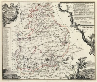
Bayerische Mautkarte
- Bayerisches Hauptstaatsarchiv
- Call number: Bayerisches Hauptstaatsarchiv, Kartensammlung 226
- 1764
- Augsburg
- CC BY-NC-ND 4.0
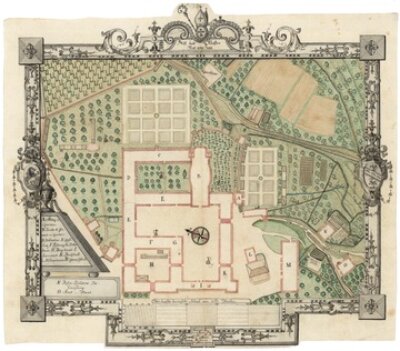
Situationsplan des Klosters Rott am Inn
- Bayerisches Hauptstaatsarchiv
- Call number: Bayerisches Hauptstaatsarchiv, Plansammlung 10567
- 1801
- Rott am Inn
- CC BY-NC-ND 4.0
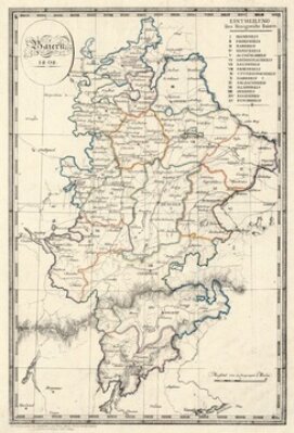
Karte der Kreiseinteilung Bayerns von 1808
- Bayerisches Hauptstaatsarchiv
- Call number: Bayerisches Hauptstaatsarchiv, Kartensammlung 732
- 1808
- München
- CC BY-NC-ND 4.0