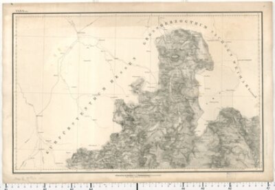
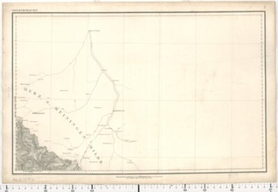
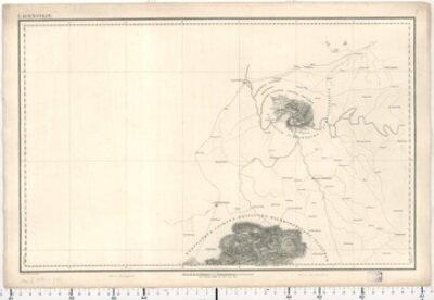
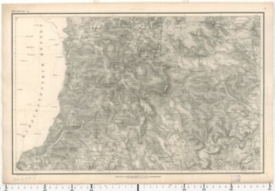
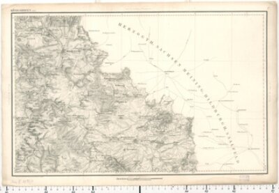
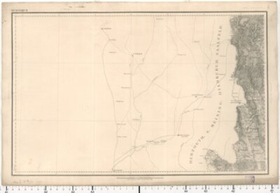
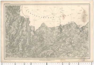
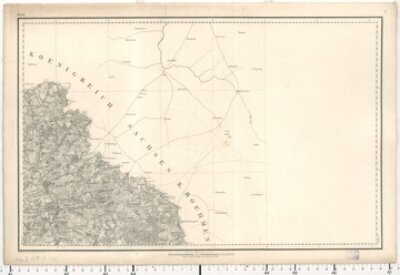
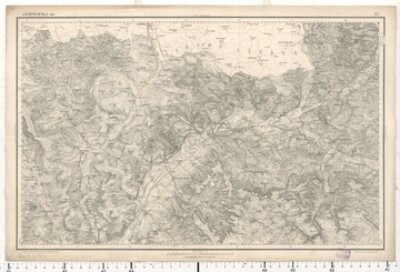
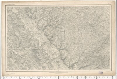
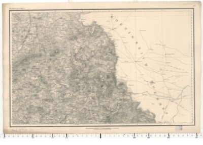
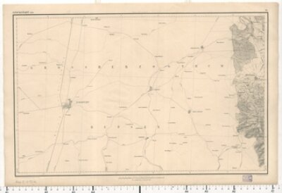
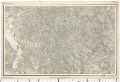
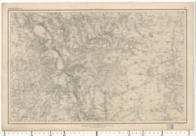
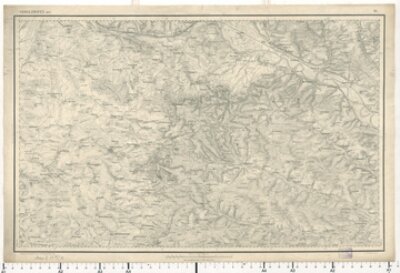
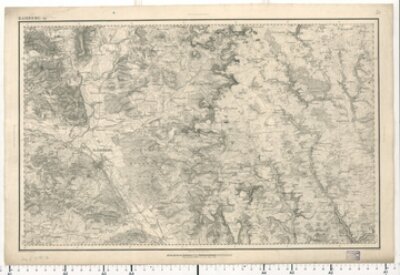
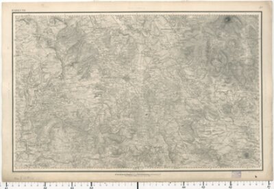
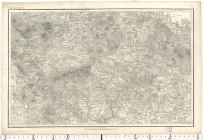
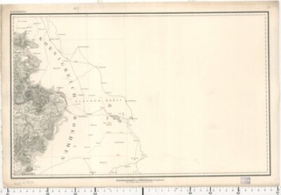
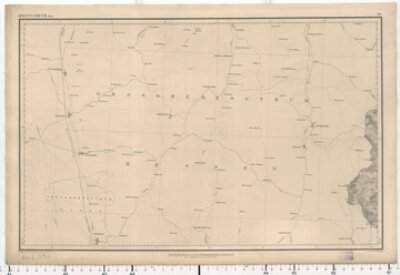
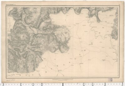
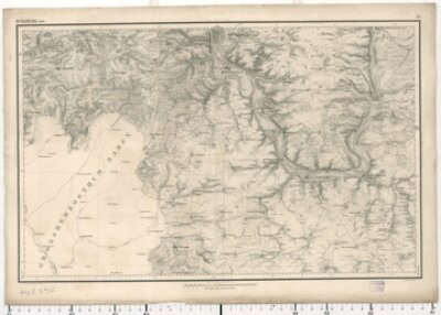
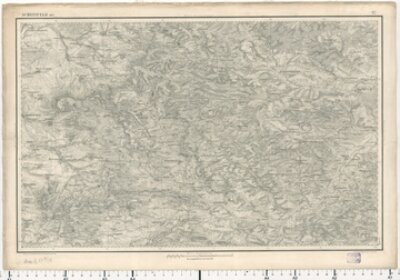
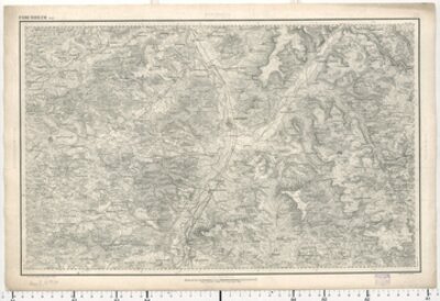
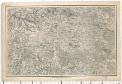
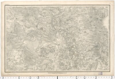
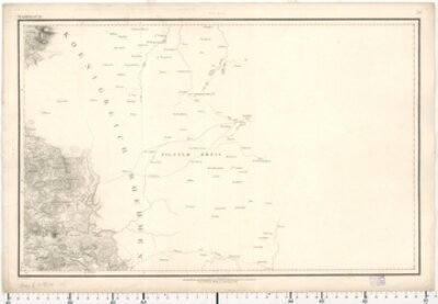
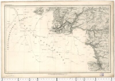
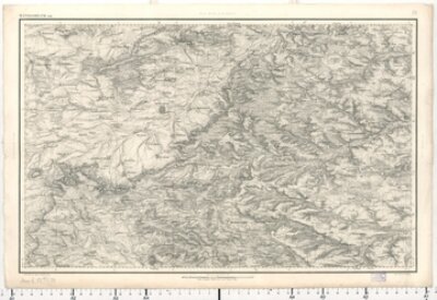
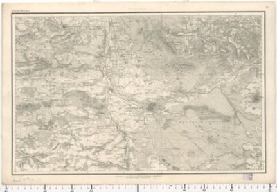
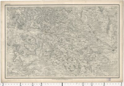
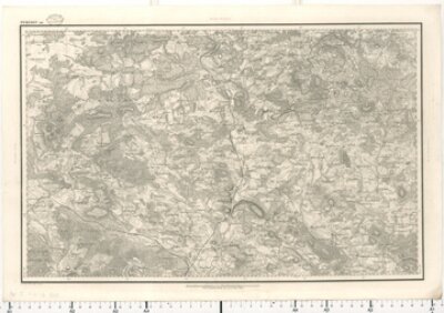
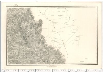
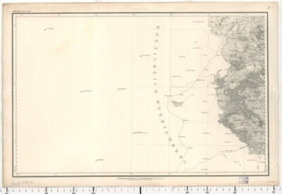
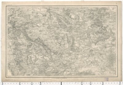
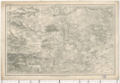
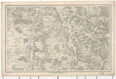
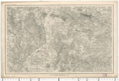
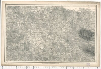
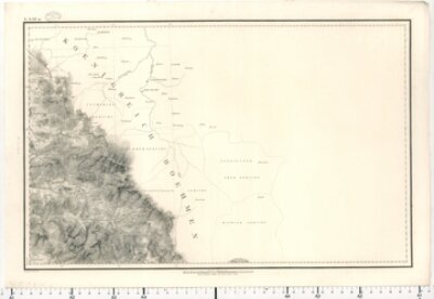
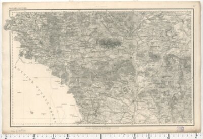
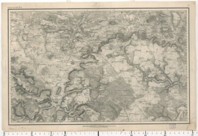
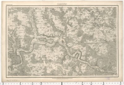
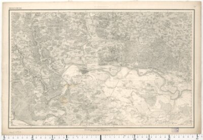
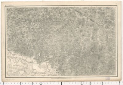
Topographischer Atlas vom Königreiche Baiern 1:50 000 - Gesamtkarte
- Topographischer Atlas vom Königreiche Baiern
- Bayerische Staatsbibliothek
- Signatur: Mapp. XI,57 du
- Identifikator: BV008270511
- Topographisches Bureau
- 1812 - 1867
- München
- CC BY-NC-SA 4.0
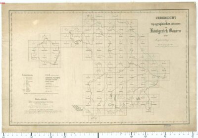
[...] Topographischer Atlas vom Königreiche Baiern 1:50 000 - Gesamtkarte [...]